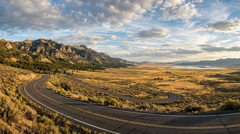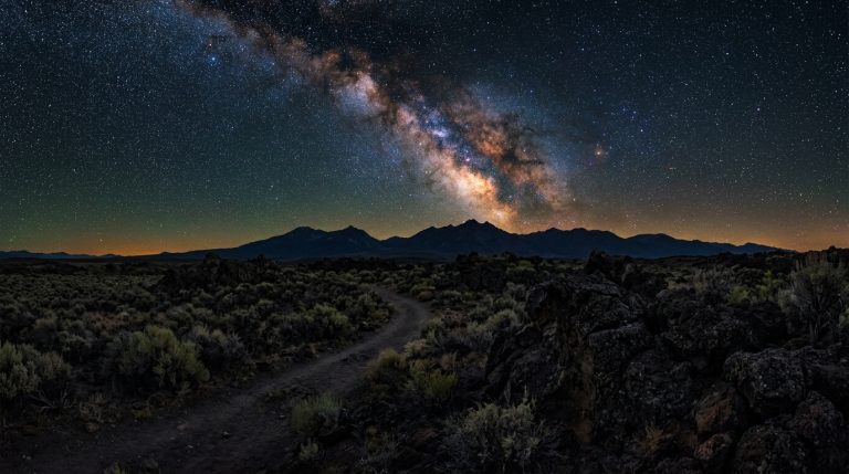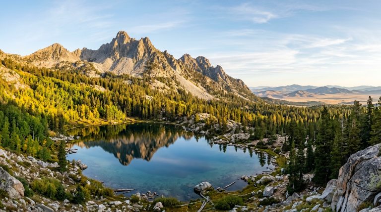
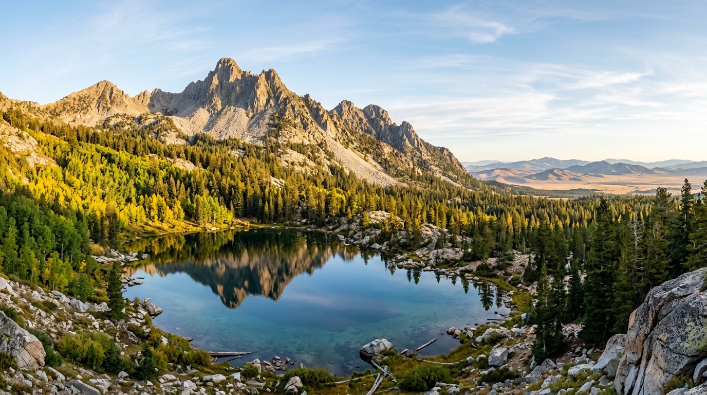
The South Warner Wilderness rises above the high-desert valleys of eastern Modoc County with alpine basins, forested slopes, rocky ridges, mountain lakes, and long views across northeastern California. It is quieter than many California wilderness areas, but that solitude comes with a trade-off: trailheads are remote, services are limited, and help may be hours away.
The wilderness covers more than 70,000 acres at the southern end of the Warner Mountains. Elevations range from about 5,800 feet near Clear Lake to 9,892 feet at Eagle Peak, and more than 80 miles of trails can be combined into day hikes, overnight trips, loops, and longer routes. No wilderness permit is currently required, but visitors are asked to sign in at the trailhead and leave a detailed trip plan with someone responsible.
Late summer and early fall are often practical seasons because higher trailheads are usually accessible and the busiest insect period may be fading. They are not risk-free. Heat, wildfire smoke, dry water sources, cold nights, early snow, hunting activity, and shortening daylight can all change a trip.
This guide explains how to select a trailhead, plan a realistic route, camp responsibly, and prepare for late-season conditions. Travelers can connect the mountains with the Modoc National Wildlife Refuge sandhill crane guide, the Sáttítla Highlands and Medicine Lake guide, or other Modoc County outdoor guides.
Planning a South Warner Wilderness Trip
Why Late Summer and Fall Require Flexible Planning
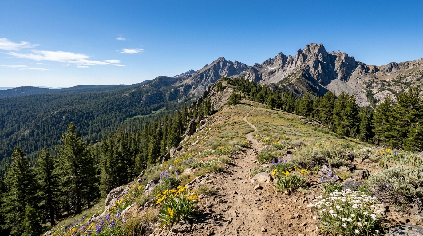
Late August through September can bring clear mornings, warm afternoons, and crisp nights, but conditions vary sharply with elevation. A comfortable afternoon near Alturas or Likely does not guarantee mild temperatures near Eagle Peak, Warren Peak, or an exposed section of the Summit Trail. Carry insulation, rain protection, gloves, and a warm hat even when the forecast looks dry.
Daylight disappears quickly after summer. Build turnaround times around sunset, terrain, and the slowest person rather than the distance shown on a map. Rocky trail, fallen trees, route-finding delays, water collection, and elevation gain can make backcountry miles much slower than expected.
Wildfire conditions deserve equal attention. Smoke can reduce visibility and air quality even when the active fire is outside Modoc County. Roads or recreation sites may close with little notice. Review the official Modoc National Forest alerts, current fire restrictions, weather, and InciWeb information shortly before departure. Download maps because cellular coverage cannot be assumed.
Weather, Smoke, Hunting, and Shorter Days
Fall visitors should expect large temperature swings and the possibility of frost or early snow. Avoid committing to an exposed ridge if clouds are building, wind is strengthening, or visibility is deteriorating. Reaching a summit is optional; returning safely is not.
Hunting is a traditional use of the Warner Mountains. During an open season, wear a highly visible outer layer, keep dogs close, and avoid clothing that disappears into vegetation. Hikers and hunters share the same remote landscape, so awareness and calm communication matter.
At the time this guide was prepared, the Forest Service also listed a toxic algal bloom advisory affecting the Pit River tributary South Fork in the Jess Valley area. Check current water advisories and avoid water with visible scum, mats, unusual color, or posted warnings.
Choosing the Right Trailhead and Route
The wilderness is served by several trailheads around its perimeter. Do not select one only because it appears closest on a digital map. Approach roads differ in length, surface, exposure, and vehicle requirements. Confirm the route with the Forest Service and compare it with a current Motor Vehicle Use Map before leaving pavement.
Pepperdine Trailhead accesses the northern portion and connects with the Summit Trail. The Summit Trail generally follows the western side of the range, while Owl Creek Trail provides access toward the eastern slopes. Pepperdine works for day hikes and overnight routes, but parking is limited and there is no potable water.
Soup Springs Campground provides access to the central wilderness and serves hikers and equestrians. It has vault toilets and campsites, but visitors should not expect potable water. Patterson Campground lies near the southern end and is a practical starting point for the Summit Trail. It is small, so arriving without a backup plan is a mistake.
Pepperdine, Soup Springs, and Patterson
Use Pepperdine when your route focuses on the northern Summit Trail or Owl Creek. Facilities generally operate as weather permits, commonly from early July into late October. Bring all drinking water needed for the trailhead and the start of the hike.
Choose Soup Springs for central access or a base-camp plan in which travelers sleep at the developed campground and day hike into the wilderness. Horses are not permitted inside the campground; corrals are near the separate trailhead area.
Choose Patterson for the southern Summit Trail or Patterson Lake country. The road is winding, and seasonal conditions affect travel time. The Forest Service lists potable water at this campground, but carry enough to reach another verified source if the system is unavailable.
For a first visit, an out-and-back day hike is usually smarter than an ambitious loop. Turn around when the group has used about half its daylight, energy, and water. Backpackers should create conservative daily mileage and identify more than one acceptable campsite.
Backpacking and Camping Safely in the South Warners
Water, Navigation, Food, and Wilderness Ethics
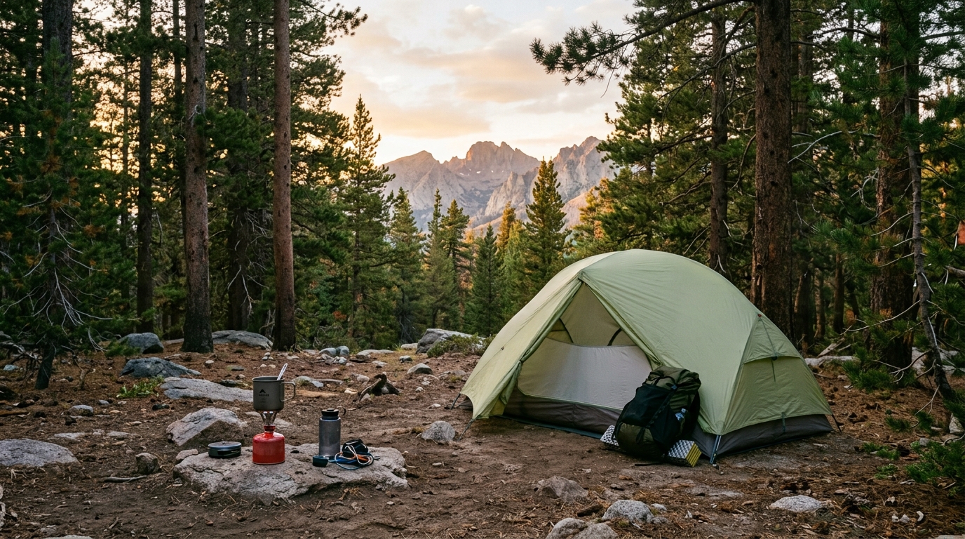
Surface water is seasonal and should never be assumed. Springs and small streams shown on older maps may be weak or dry by late summer. Contact the Warner Mountain Ranger District for recent information, carry more water than the route appears to require, and treat water from natural sources unless an official notice says it is potable.
Carry a paper topographic map and compass even when using a GPS app. Download offline maps before leaving town, protect the phone battery from cold, and consider a satellite communicator. Technology improves communication, but it does not replace route judgment, first-aid knowledge, or a trip plan.
Store food and scented items securely at camp and at the trailhead. The Forest Service advises overnight visitors to secure food, packaging, and ice chests inside the vehicle trunk. In the backcountry, use a wildlife-resistant method appropriate to current forest guidance.
Practice Leave No Trace principles: use durable campsites, keep camp away from water and trails, pack out trash, do not cut vegetation, and avoid creating fire rings. When meeting horses or pack animals, step to the safe side of the trail, speak calmly, and allow them to pass.
No Wilderness Permit Does Not Mean No Preparation
No wilderness permit is currently required for day hikes or overnight trips. Trailhead registration is still useful, but the sign-in sheet is for visitation information and is not an overdue-person tracking system. Search and rescue begins only after someone reports a party missing.
Leave a written plan with a reliable person. Include the trailheads, planned route, campsite options, vehicle details, party names, medical concerns, communication devices, and the time that person should call for help. Set a realistic overdue threshold.
Carry first-aid supplies, emergency insulation, a headlamp for every person, backup batteries, a repair kit, and extra food. Do not separate the group to make up time. A slower return together is safer than creating two separate emergencies.
Fire Restrictions and Camp-Stove Rules
Late summer is fire season. A free California Campfire Permit is generally required for a campfire, barbecue, camp stove, or lantern outside developed sites, and local restrictions override the permit. The 2026 Modoc National Forest order that began July 23 contains specific restrictions and special wording for the South Warner Wilderness. Verify the current rule immediately before your trip.
Even where a wood fire is legal, a contained gas stove is usually the lower-risk option. Carry the required permit, place the stove on a cleared stable surface, keep water nearby, and never cook inside a tent. During strong wind or exceptionally dry conditions, use food that requires no flame.
Do not rely on a previous trip, campground fire ring, social-media post, or printed guide to decide what is legal. Use the current Forest Service alert and call the forest office when the wording is unclear. Restrictions protect lives, remote communities, trail access, and wildlife habitat.
The South Warner Wilderness offers genuine solitude, but it does not provide a safety net around every mistake. Choose a route that matches the group, carry reliable navigation and water, check current alerts, and leave a detailed plan at home. A carefully planned day hike or one-night trip is a better introduction than an overloaded itinerary built around reaching every lake or summit.
After the hike, consider a recovery day in Alturas or a lower-elevation wildlife stop. The site’s Modoc County trip-planning guide and weekend itineraries can connect the Warner Mountains with food, fuel, lodging, and less demanding attractions.