The Modoc County prescribed burns 2026 are an important fall update for anyone traveling through northeastern California. The Bureau of Land Management announced new prescribed burning work that could begin as early as October 1. Burning may continue through fall, winter, and spring when conditions are safe.
Travelers may see smoke near Alturas, Cedarville, Fort Bidwell, Likely, and Madeline. Smoke does not always mean an uncontrolled wildfire is nearby. Some of it may come from planned pile burns on public land.
That distinction matters in a county where long drives, remote roads, forests, and open high-desert landscapes are part of almost every trip. Even a planned burn can affect visibility, air quality, photography, hiking, and driving comfort.
This guide explains what the Bureau of Land Management has announced. It also covers how visitors can plan around smoke without canceling an entire Modoc County trip.
Where Modoc County Prescribed Burns 2026 May Affect Travel
The Bureau of Land Management plans prescribed pile burns across several parts of northeastern California. Work will take place only when weather and fuel conditions allow crews to burn safely.
The agency says smoke may become visible around several Modoc County communities. These include Alturas, Cedarville, Fort Bidwell, Likely, and Madeline. Travelers may also notice smoke from rural roads between these communities.
The exact location and timing can change. A burn scheduled for one day may move to another date because of wind, moisture, staffing, or air-quality conditions.
For that reason, visitors should not build a trip around an old burn schedule. Use current agency notices before leaving for a remote route.
Why Alturas, Cedarville, Fort Bidwell, Likely and Madeline May See Smoke
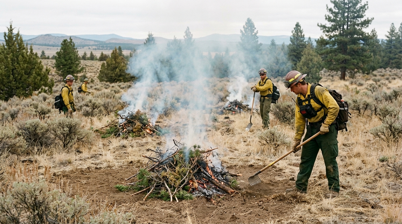
The BLM uses prescribed fire to reduce vegetation that could feed a future wildfire. Crews may burn piles of juniper, brush, branches, and other material left from earlier fuel-reduction work.
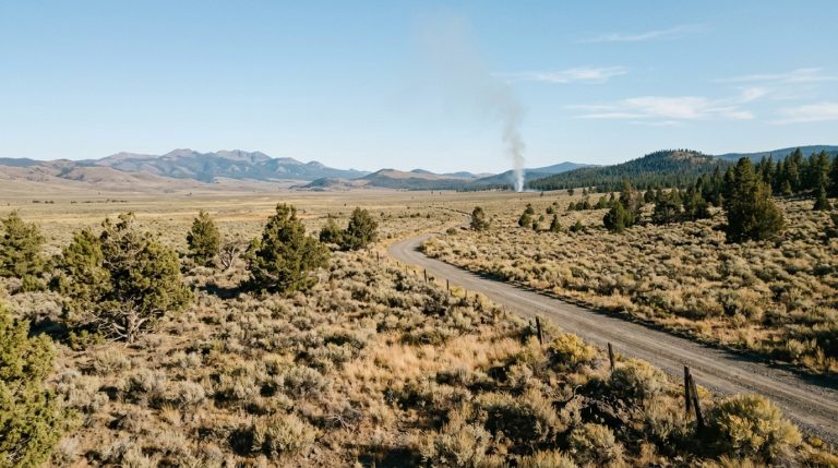
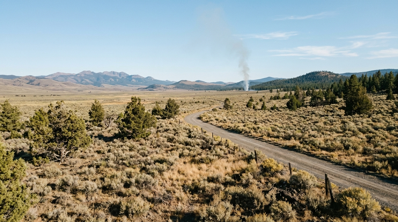
These projects can take place away from towns while still producing visible smoke. Modoc County has wide valleys and long sight lines. As a result, a smoke column can appear much closer than it really is.
Alturas is especially important for visitors because many trips begin there. Travelers often use the city for fuel, food, lodging, and supplies before heading farther into the county.
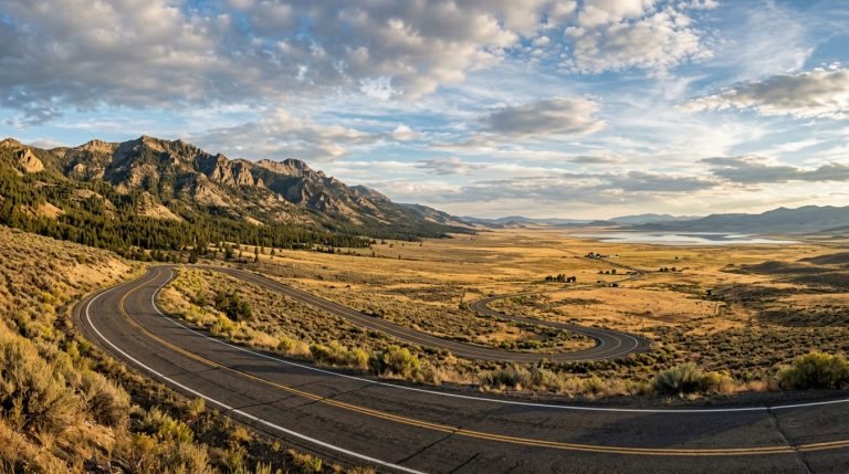
Cedarville and Fort Bidwell sit along popular Surprise Valley routes. Visitors driving east from Alturas may therefore see smoke during an otherwise clear scenic trip.
Our Alturas to Surprise Valley scenic road trip guide explains how to plan that drive without rushing. During burn season, leave even more room in the schedule.
Prescribed Pile Burns Are Different From Wildfires
A prescribed burn is planned in advance. Fire managers choose a specific area and wait for suitable conditions before ignition.
Crews also prepare equipment, staffing, and control measures before work begins. They monitor the burn while it is active and continue checking the site afterward.
A wildfire is different. It is an unplanned fire that can spread under dangerous conditions. Its size and direction may change quickly.
Visitors should still take smoke seriously. However, seeing smoke does not automatically mean an emergency evacuation is underway.
The Bureau of Land Management’s 2026 prescribed burn announcement is the best starting point for this specific program.
Smoke Can Change Quickly Even When Roads Remain Open
A road does not need to close for smoke to affect a trip. Wind can move smoke across valleys, hillsides, and rural highways.
Visibility may drop for a short distance and then improve again. Smoke can also settle into low areas during calm weather.
Drivers should slow down when visibility becomes poor. Turn on headlights when needed and increase the space between vehicles.
Avoid stopping in a travel lane to photograph a smoke column. Use only safe and legal pullouts.
People with asthma or other smoke sensitivities may need to change outdoor plans sooner than other travelers. Current air-quality information can help with that decision.
How Fall Weather Affects Burn Timing
Prescribed fire depends heavily on weather. Crews cannot simply choose a date months ahead and burn regardless of conditions.
Wind matters because it can carry smoke and embers. Moisture matters because vegetation that is too dry may burn more aggressively than planned.
Very wet conditions can create the opposite problem. Piles may not burn well enough to meet project goals.
Temperature, humidity, air quality, and available fire crews can also affect the final decision. That is why the BLM describes the schedule as weather dependent.
Why Moisture, Wind and Air Quality Matter
Fall weather in Modoc County can change quickly. A mild afternoon in Alturas does not guarantee the same conditions near the Warner Mountains or a remote high-desert burn site.
Cold nights can also affect smoke movement. Smoke may settle into a valley overnight before lifting later in the day.
Wind can shift the visible smoke plume away from the actual burn area. This can make it difficult for visitors to judge conditions from a distance.
Do not use the appearance of the sky alone to decide whether a route is safe. Check official notices, weather, and road conditions before leaving.
The site’s Modoc County trip-planning guide already recommends checking smoke, wind, snow levels, road access, and fire restrictions before remote travel. That advice becomes even more important during fall burning.
How to Plan a Modoc County Trip During Prescribed Fire Season
Prescribed burning does not mean travelers must avoid Modoc County. In most cases, the better approach is to build a flexible itinerary.
Start with one main destination and one backup plan. If smoke affects the first route, shift the day rather than forcing the original schedule.
For example, a visitor planning Surprise Valley may decide to stay closer to Alturas if visibility drops near Cedar Pass. Someone planning a long hike can choose a shorter wildlife or town-based day instead.
Distances also matter. Modoc County has fewer services than a major tourist area. A quick detour on a map can become a long drive.
Build a Flexible Route Around Smoke and Road Conditions
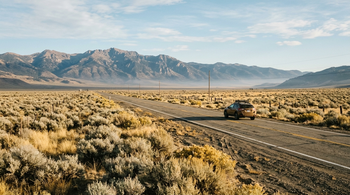
Visitors should decide what matters most before leaving. A scenic drive, wildlife morning, hiking day, and stargazing night each react differently to smoke.
Wildlife viewing may still work when distant views are hazy. Our Modoc National Wildlife Refuge sandhill crane guide is a useful option for travelers staying near Alturas.
Mountain hiking requires more caution. Smoke can reduce air quality and hide distant landmarks. Fall also brings shorter daylight and colder temperatures.
If the South Warner Wilderness is part of your trip, review our South Warner Wilderness hiking and camping guide. Check current forest alerts before starting any backcountry route.
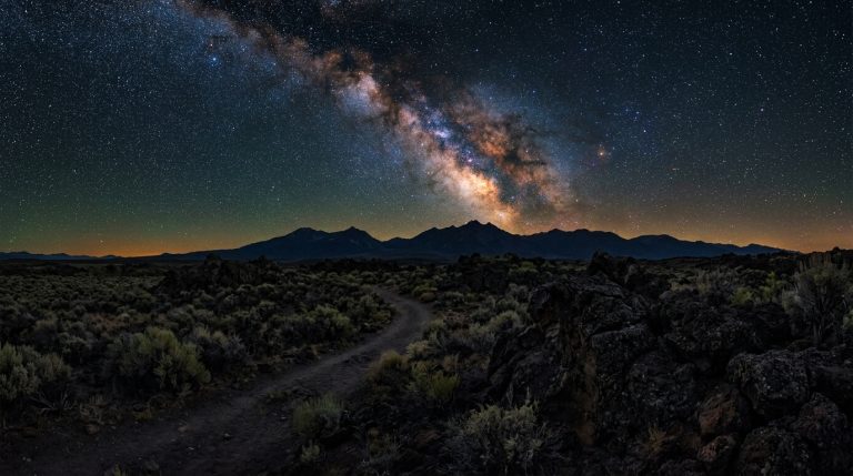
Stargazing depends heavily on clear skies. Smoke that seems minor during daylight can soften stars and reduce visibility after dark.
Our Modoc County stargazing guide offers several route ideas. However, smoke, weather, and road conditions should always decide the final location.
Practical Checks Before Leaving Alturas or Cedarville
Start with fuel. Fill the tank before heading into remote areas. Do not assume the next small community will have fuel available late in the day.
Next, check the newest BLM and Forest Service notices. Review Caltrans road information when your route uses a state highway.
Look at the weather for the actual destination, not only Alturas. Mountain and high-desert conditions can differ within a short drive.
Download maps before leaving reliable service. Keep a paper map as a backup when possible.
Carry drinking water, food, warm clothing, a first-aid kit, and basic roadside supplies. Fall nights can become cold quickly.
Tell someone where you plan to go when the route enters remote country. Include your planned road, trailhead, or campground and your expected return time.
Never drive past a road closure or into an active burn area. Fire crews may need the full width of a road for engines and other equipment.
If visibility becomes poor, turn around at a safe location. A scenic viewpoint is not worth continuing through conditions that make driving uncomfortable.
The Modoc County prescribed burns 2026 are part of ongoing efforts to reduce hazardous fuels and improve landscape health. The BLM says these burns can lower wildfire risk, improve wildlife habitat, support native plant growth, and return nutrients to the soil.
For travelers, the main effect may simply be visible smoke. However, conditions can change from one valley to another and from morning to evening.
The best plan is therefore flexible. Check official information, keep fuel in the vehicle, and avoid packing too many distant stops into one day.
Modoc County is at its best when travelers allow the landscape to set the pace. A smoke-affected route does not have to ruin the trip. It may simply mean choosing a wildlife morning near Alturas, a slower town day, or another open destination until conditions improve.
Use the latest BLM, Forest Service, Caltrans, and local emergency information as the final authority. Current conditions should always override an older travel article or itinerary.