
Weekend Itineraries for Modoc County
Choose a route built around real driving distances, seasonal access, limited services, and enough time to experience each landscape without rushing.
A Better Way to Explore a Remote County
Modoc County is large, lightly populated, and shaped by mountain passes, forest roads, seasonal recreation sites, and long stretches between services. These itineraries group compatible places into realistic routes.
Start Early
Morning departures leave room for wildlife, cave orientation, mountain weather, and unplanned stops.
Fuel Before the Route
Top up in a service community before entering the forest, mountain, refuge, or high-desert sections.
Keep a Backup
Every route should have a lower-elevation or shorter alternative when access, smoke, snow, or weather changes.
Choose One Landscape and Explore It Well
These routes work for visitors with one full day. Do not combine all three into a single schedule.
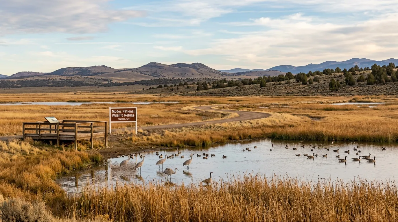
Alturas and Modoc Wildlife Refuge
A lower-driving route with early wildlife viewing and time for town services.
- Early auto tour around Teal Pond
- Walk the designated wetland trail
- Lunch, supplies, and local history in Alturas
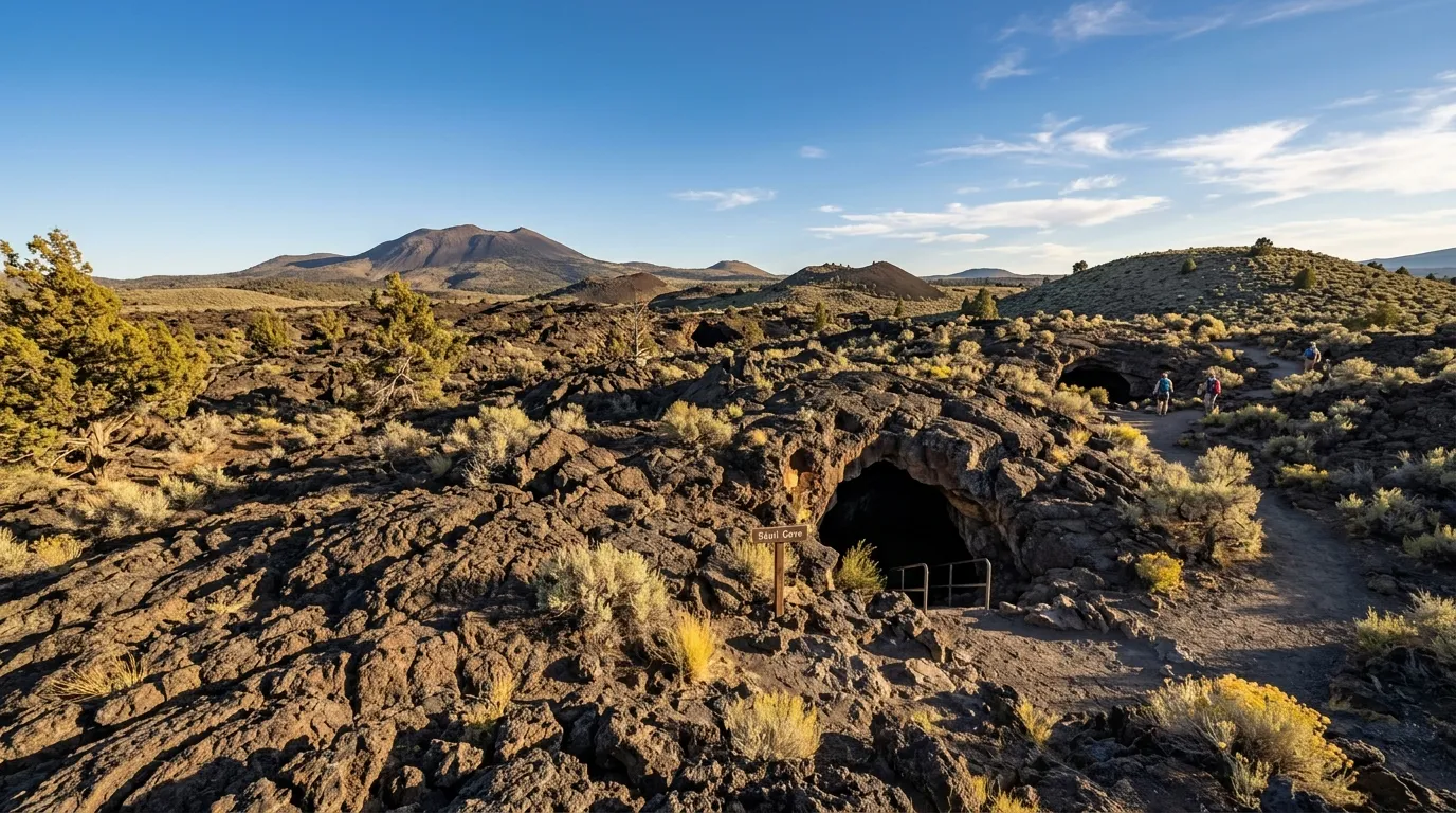
Lava Beds Cave Country
Reserve the full day for cave permits, gear checks, surface stops, and the return drive.
- Begin at the visitor-center area
- Explore one or two suitable caves
- Add a historical or volcanic surface stop
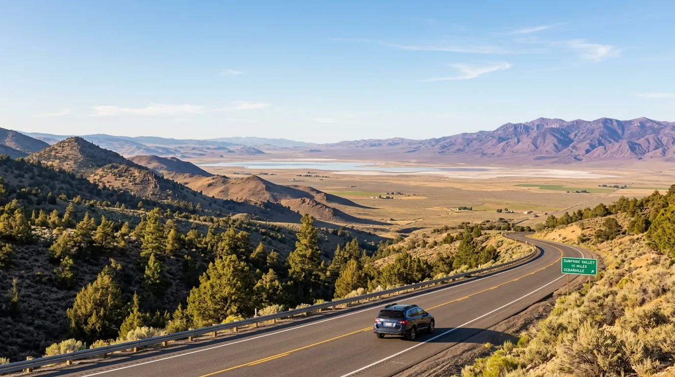
Alturas to Surprise Valley
Cross Cedar Pass, spend time in Cedarville, and choose only one valley extension.
- Fuel and supplies in Alturas
- Cedar Pass and Cedarville
- Continue north or south, then return before dark
Add an Overnight and Reduce the Rush
Two days allow sunset, dark skies, a slower community visit, or separate volcanic destinations.
Alturas, Wildlife and Surprise Valley
Begin at Modoc National Wildlife Refuge, then use the afternoon for Alturas, supplies, and local history.
Cross Cedar Pass to Cedarville and choose either the northern or southern Surprise Valley route.
Lava Beds and Sáttítla Highlands
Dedicate the day to Lava Beds orientation, cave exploration, volcanic terrain, and historical sites.
Travel into the Medicine Lake highlands only when the full road and recreation-area access are confirmed.
A Balanced Modoc County Highlights Route
This route uses Alturas as a practical service base, then adds one eastern-valley day and one outdoor day. Keep Day Three flexible because mountain and volcanic access can change.
Alturas and Wildlife
Start with the refuge during the most active morning hours, then use Alturas for food, fuel, lodging, and a low-pressure afternoon.
Wildlife refuge guide →Cedar Pass and Surprise Valley
Cross the Warner Mountains, spend meaningful time in Cedarville, and choose a northern or southern valley extension based on daylight.
Surprise Valley route →Choose Mountains or Volcanic Country
Select the South Warner Wilderness for hiking, or choose Lava Beds and the Medicine Lake region when road and seasonal access support the route.
Mountain guide → Lava Beds guide →Build the Weekend Around Your Main Interest
Wildlife Weekend
Refuge mornings, wetland walks, scenic drives, and patient photography.
Volcanic Weekend
Caves, lava terrain, Medicine Lake, obsidian formations, and dark skies.
Mountain Weekend
Trailheads, alpine country, developed campgrounds, and conservative hiking plans.
Dark-Sky Weekend
Arrive before dark, use a legal overnight base, and schedule the route around the Moon.
The Same Weekend Does Not Work All Year
High-elevation routes, campgrounds, trailheads, and forest roads can have a much shorter season than Alturas or the main highways.
Best for migration, green valleys, and cool lower-elevation routes. Mountain and forest access may still be limited.
Best for the widest high-elevation access. Build backup plans for heat, wildfire smoke, and fire restrictions.
Best for cool roads, wildlife movement, and fewer visitors. Plan around shorter daylight and possible early snow.
Best for a quiet maintained-highway itinerary. Do not rely on seasonal forest, campground, or trailhead access.
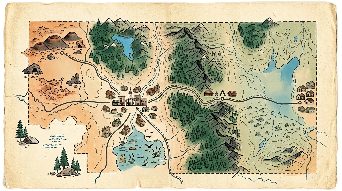
Check Every Road Segment Separately
A road shown between two attractions may be seasonal, unpaved, slow, or managed by a different agency. Do not assume that a navigation app has evaluated snow, fire restrictions, vehicle clearance, or gate status.
Confirm state highways through Caltrans and check park, forest, refuge, or recreation-area alerts for the destination itself.
Verify Conditions Before Every Itinerary
This page provides route structure, not live closure information. Use the responsible public agency as the final authority before departure.
Frequently Asked Questions
How many days should I spend in Modoc County?
Two or three days provide the best first visit. One day should focus on one landscape or route rather than combining distant attractions.
Can I visit Lava Beds and Medicine Lake on the same day?
It may be physically possible under ideal conditions, but separate days are usually better. Cave orientation, road conditions, forest access, and the return drive require more time than the map suggests.
Where should I stay for a weekend?
Alturas is the strongest general base. Cedarville fits a Surprise Valley-focused trip, while the Tulelake area can be practical for Lava Beds. Forest camping depends on current seasonal access and services.
Which itinerary is best for families?
Alturas and Modoc National Wildlife Refuge generally involve less driving and fewer technical activities. Cave and wilderness plans should be matched carefully to age, mobility, equipment, and comfort.
Do these itineraries work in winter?
The lower-elevation and maintained-highway ideas can be adapted, but forest roads, campgrounds, mountain trailheads, and some recreation areas may be inaccessible. Build a winter route only after reviewing current reports.
Should I book lodging in advance?
Yes, especially when your plan depends on staying in a particular small community. Lodging inventory is limited compared with major California destinations.
Start With the Full Planning Guide
Review seasons, fuel, lodging bases, packing, maps, and official condition links before committing to a route.