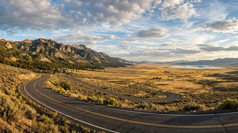
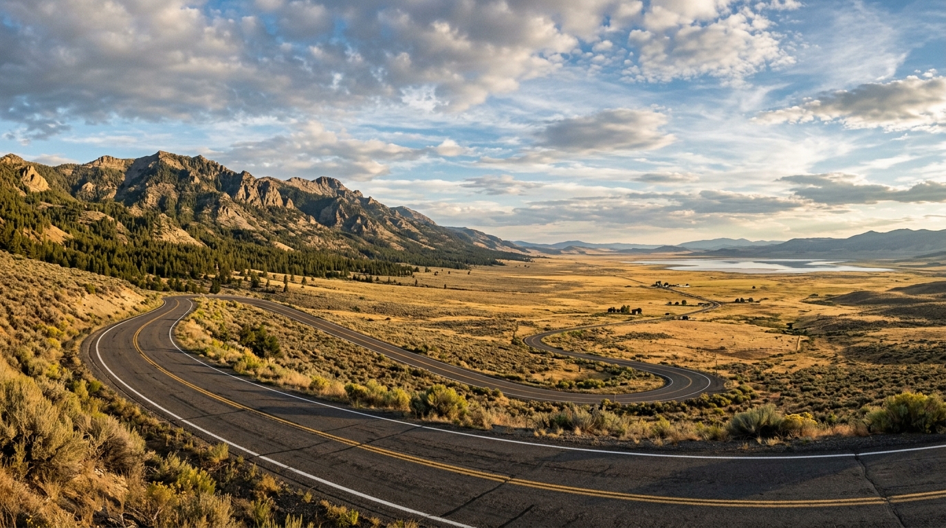
The drive from Alturas to Surprise Valley is short enough to fit into a day but varied enough to feel like a much larger journey. State Route 299 climbs from the Modoc County seat through the Warner Mountains, crosses Cedar Pass, and drops into a broad Great Basin valley framed by mountains, ranchland, alkaline lakes, and immense open sky.
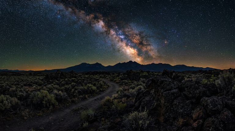
Cedarville is only about 23 road miles from Alturas, yet the route demands more time than the mileage suggests. The appeal is not speed. It is the transition from town streets to mountain forest, high pass, historic roadside markers, and the open landscape east of the Warners. Travelers who continue north or south through Surprise Valley can add Lake City, Fort Bidwell, Eagleville, birding areas, historic sites, or an overnight stay beneath exceptionally dark skies.
This itinerary is designed for visitors who want a practical scenic drive rather than an overloaded checklist. It explains where to pause, how to choose between a one-day and two-day trip, and why current road and weather information matters. State Route 299 is maintained by Caltrans, but snow, ice, wind, wildfire smoke, roadwork, and wildlife can still affect travel across Cedar Pass.
Use this route alongside the Modoc County trip-planning guide and Modoc County stargazing guide when building a longer trip.
Planning the Drive From Alturas to Surprise Valley
Start in Alturas and Cross Cedar Pass
Alturas is the most practical place to begin because it offers the widest concentration of fuel, food, lodging, and basic supplies in the county. Fill the tank before leaving, download maps for offline use, and carry water, snacks, warm layers, and a basic roadside kit. Mobile service can weaken once the highway enters the mountains and may be unreliable in parts of the valley.
If time allows, walk through central Alturas or visit the Modoc County Historical Museum when it is open. It provides context for Indigenous communities, settlement, ranching, railroads, and regional development. Check the current schedule directly.
Leaving Alturas, follow State Route 299 east toward Cedarville. The road begins climbing into the Warner Mountains almost immediately. The scenery changes from open basin to pine-covered slopes, rocky cuts, and elevated views. Keep your attention on the road and use only safe, established pullouts for photographs.
Before Leaving Alturas
A remote road trip works better when errands are completed before the scenic section begins. Confirm accommodation check-in instructions, restaurant availability, fuel range, and any medications or specialty supplies you may need. Businesses in small communities can keep limited or seasonal hours, and some may close on particular weekdays.
Check Caltrans State Route 299 conditions shortly before departure. Caltrans also operates a Cedar Pass traffic camera and road-weather station near the summit, which can be useful when clouds, snow, or freezing temperatures are possible. QuickMap is a traffic-information tool rather than a substitute for navigation, so keep a separate map available.
Carry a spare tire or repair kit, a charged phone, and enough clothing to wait safely if the vehicle becomes disabled. Winter drivers should carry required traction equipment and know how to install it.
Driving Cedar Pass in Changing Conditions
Cedar Pass is the defining section of the route. Curves and elevation changes require more attention than the short distance might imply. Drive at a speed that matches visibility and road surface, leave space behind other vehicles, and avoid sudden braking on snow, ice, gravel, or wet pavement.
Weather can differ sharply across the Warner Mountains. Alturas may be dry while the summit has fog, blowing snow, or ice. In summer and fall, wildfire smoke can obscure views and reduce air quality.
Wildlife and livestock are another reason not to rush. Deer may move near the road at dawn and dusk, while open-range conditions can place cattle close to rural routes. If darkness is approaching, reduce the number of planned stops instead of hurrying through the return drive.
Explore Cedarville and the Communities of Surprise Valley
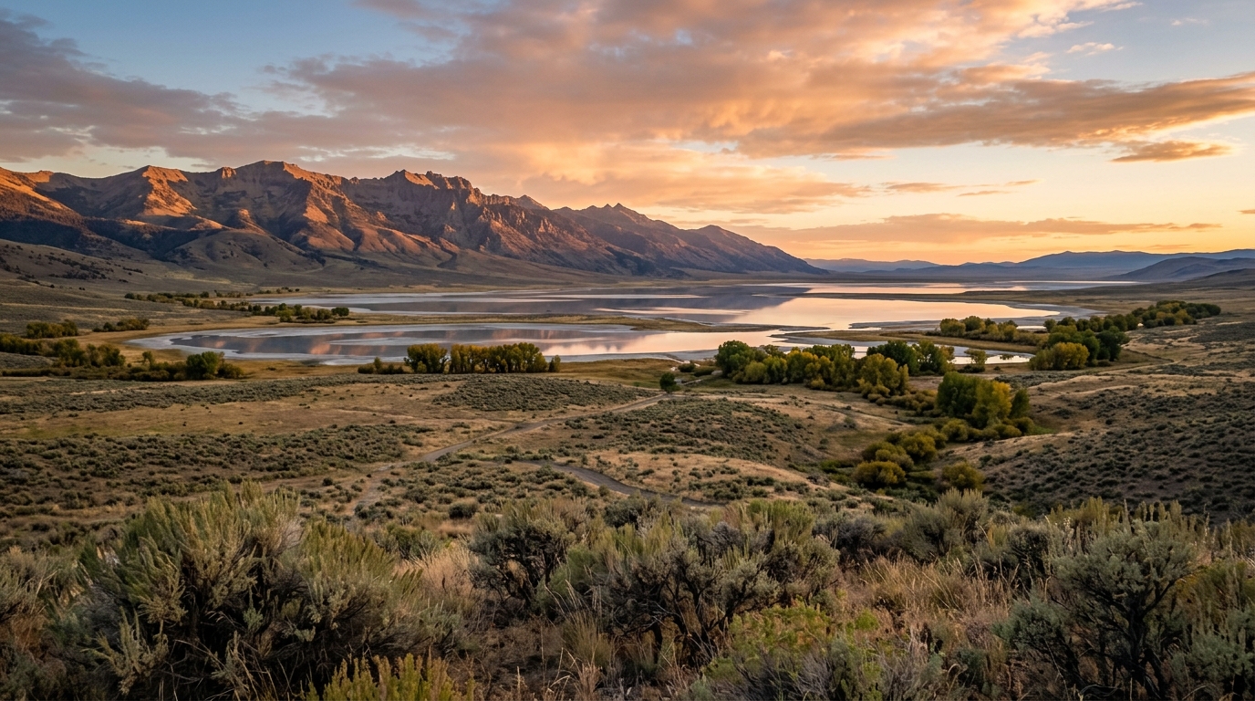
As State Route 299 descends from the pass, Surprise Valley opens suddenly below. The Warner Mountains form the western wall, while ranches, wetlands, and alkaline lakebeds stretch toward the Nevada high desert. The valley’s four principal communities are Eagleville, Cedarville, Lake City, and Fort Bidwell, connected mainly by Modoc County Road 1.
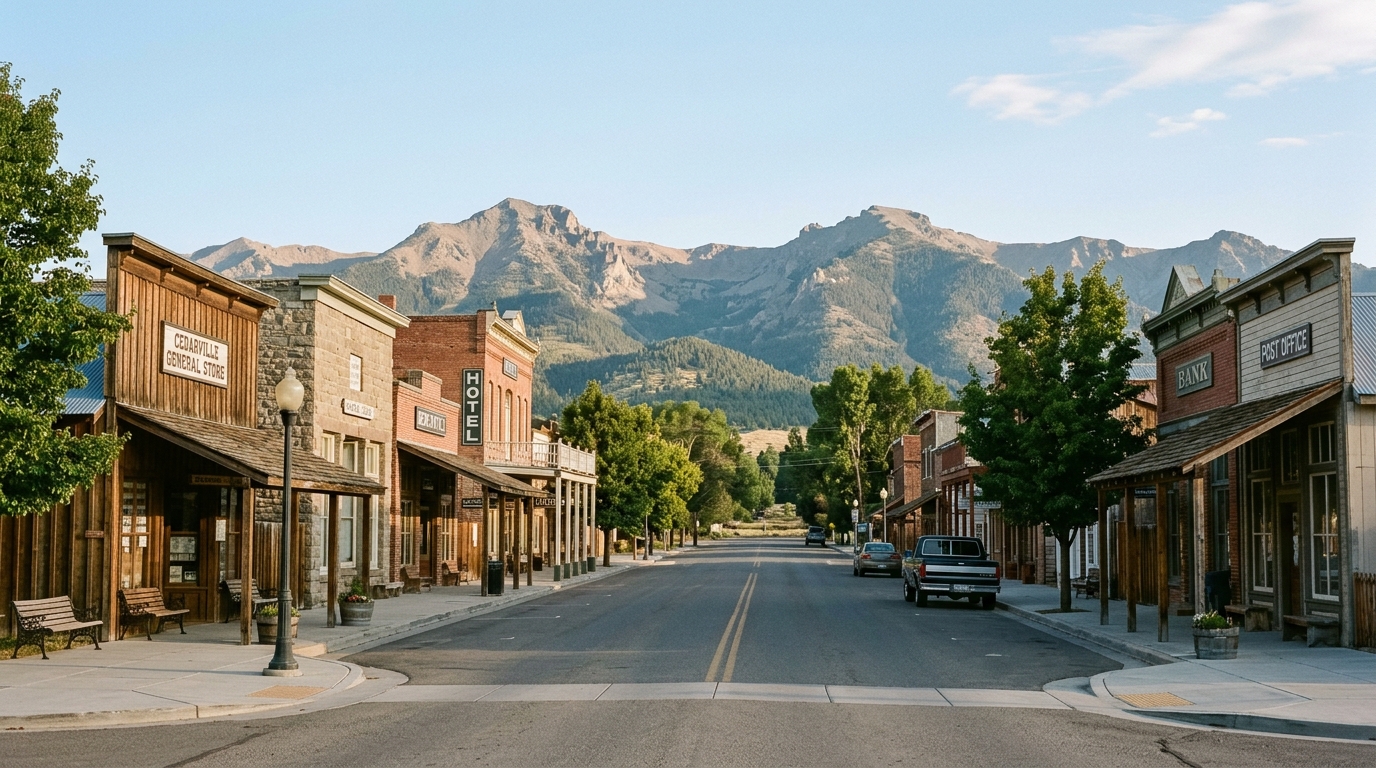
Cedarville is the natural center of the route and the best place to pause before deciding how far to continue. Walk the compact downtown, look for historic architecture and markers, and use local visitor information to confirm what is open. Treat sidewalks, storefronts, homes, ranch entrances, and tribal lands as parts of a living community rather than a roadside set.
What to Do in Cedarville
Allow at least an hour for Cedarville. Walk slowly, stop for a meal when available, check community information, and photograph public streets without blocking traffic or entering private property.
Visitors interested in local history can look for the Cressler and Bonner Trading Post landmark in Cedarville Park and the Bonner Grade marker west of town. Interpret nineteenth-century settlement history carefully. Surprise Valley has long-standing Northern Paiute communities, including the Cedarville Rancheria and Fort Bidwell Indian Community, whose history did not begin with military posts or wagon routes.
For current lodging, dining, events, and service information, consult the Surprise Valley Chamber of Commerce. Verify hours directly with a business before making it the centerpiece of the trip, especially during winter or on weekdays.
Eagleville, Lake City, and Fort Bidwell
From Cedarville, choose one direction rather than trying to cover the entire valley at speed. Heading south toward Eagleville emphasizes open ranch country, lake views, and access toward the southern valley. Heading north leads through Lake City toward Fort Bidwell at the base of the mountains.
Fort Bidwell contains a California Historical Landmark associated with the former military post. Read the site as part of a complex regional history involving settlement, military expansion, Indigenous displacement, and the continuing presence of the Fort Bidwell Paiute community. Remain on public roads and signed public areas, and do not photograph residents or tribal facilities without permission.
View alkaline lakes and wetlands from legal roadside locations. Do not drive onto dry-looking lakebeds, cross fences, enter ranch roads, or approach wildlife. Surface crust can conceal soft mud.
Choose a One-Day Route or a Slower Overnight Trip
Build a Realistic Itinerary and Travel Responsibly
For a one-day trip, leave Alturas in the morning, cross Cedar Pass, spend late morning and lunch in Cedarville, then choose either a short northern or southern extension. Turn back early enough to cross the pass in daylight. This version works well for travelers staying in Alturas and can be paired with an early visit to the wildlife refuge on a separate day.
A two-day trip is better for anyone who wants sunrise, sunset, stargazing, photography, or a longer valley drive. Stay in or near Cedarville, use the first afternoon for town and landscape stops, and reserve the second morning for Fort Bidwell, Eagleville, or another carefully selected route. The slower schedule also creates room for weather delays and seasonal business hours.
Experienced backcountry drivers may be interested in the Surprise Valley–Barrel Springs Back Country Byway. The Bureau of Land Management publishes an official route brochure and map, but this is not a casual extension of the paved Alturas–Cedarville drive. Road conditions, remoteness, navigation, vehicle clearance, weather, and fuel range require separate planning. Do not enter the byway simply because a navigation app suggests it as a shortcut.
Photography is strongest near sunrise and late afternoon. Park completely off the road, avoid traffic lanes, and never stop on a blind curve. Use a telephoto lens for wildlife and a wide lens for the landscape.
Pack out all trash
Pack out all trash and support local businesses without expecting city-level schedules or inventory. Keep noise low near homes, close any gate you are authorized to pass through, and avoid sharing precise locations of sensitive wildlife, cultural resources, or private hot springs. Public hot-spring access should never be assumed; use only clearly authorized facilities or sites.
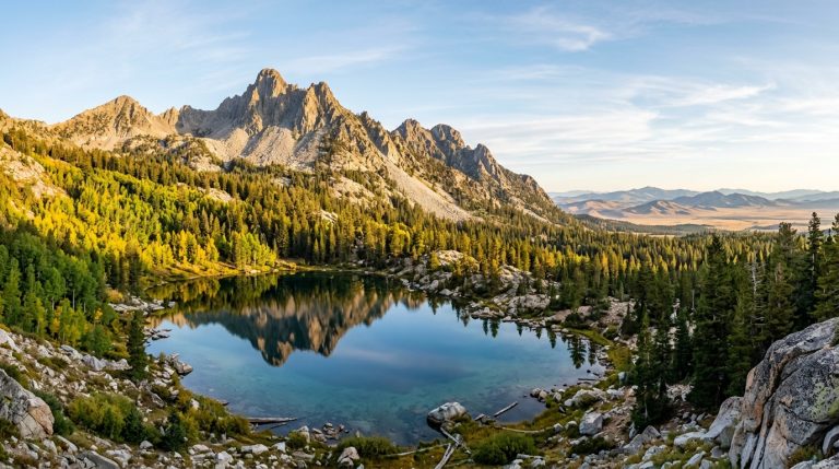
On the return to Alturas, consider how the road connects with the rest of the county rather than treating Surprise Valley as an isolated detour. The next day could focus on the South Warner Wilderness, wildlife viewing near Alturas, or a volcanic route using the Sáttítla Highlands and Medicine Lake guide.
The Alturas-to-Surprise-Valley drive succeeds when travelers leave room for the landscape. Check State Route 299, start with fuel and supplies, cross Cedar Pass without rushing, and choose only a few meaningful stops. The reward is not a long list of attractions. It is the transition from one side of the Warner Mountains to the other and a clearer understanding of Modoc County’s scale, communities, and high-desert character.