
Plan Your Visit to Modoc County
Build a realistic route through remote volcanic landscapes, mountain wilderness, wildlife refuges, and small communities. Start with distance, season, road conditions, and available services—not just a list of attractions.
Best General Base
Alturas has the county’s broadest concentration of fuel, groceries, lodging, and essential services.
Recommended Trip Length
Allow two or three days for a useful introduction. One day works only for a focused route.
Driving Style
Expect long rural stretches, mountain passes, limited night lighting, and occasional unpaved roads.
Cell Coverage
Service can be unreliable away from communities. Download maps and trip details before departure.
Six Essentials for Remote Travel
Modoc County is rewarding because it remains spacious and lightly developed. That same remoteness makes basic preparation part of the experience.
Start With Fuel
Fill the tank before entering long forest, refuge, mountain, or valley routes. Do not assume the next community has late-night fuel.
Check More Than Temperature
Review precipitation, wind, smoke, snow level, overnight lows, and conditions at the elevation you plan to visit.
Carry Offline Maps
Download navigation, agency maps, and reservation details. Keep a paper backup for forest and backcountry travel.
Carry Water and Food
Bring enough drinking water and snacks for delays. Some campgrounds and recreation sites have no potable water.
Verify Fire Restrictions
Campfire, stove, smoking, and dispersed-camping rules can change during the season. Current orders override old articles.
Leave Schedule Flexibility
Roads, cave visits, trailheads, wildlife stops, and mountain weather often take longer than digital maps suggest.
What Changes Through the Year
There is no single best month for every Modoc County trip. Choose the season based on the places and activities that matter most to you, then verify current access.
Spring
Migration, green valleys, and cool hiking weather. Expect mud, wind, lingering mountain snow, and changeable roads.
Summer
The widest access to mountain lakes, campgrounds, cave country, and high-elevation trails. Prepare for heat and wildfire smoke.
Fall
Cooler roads, wildlife movement, crisp nights, and fewer visitors. Daylight shortens and early snow is possible.
Winter
Quiet landscapes and snow-country travel. Build routes around maintained highways and current road reports.
Choose the Trip That Fits Your Time
A shorter route explored well is better than racing between distant corners of the county.
Alturas and Nearby Wildlife
Use Alturas as the base and keep driving limited.
- Morning at Modoc National Wildlife Refuge
- Lunch and supplies in Alturas
- Museum, town walk, or nearby scenic stop
Cedar Pass and Surprise Valley
Cross the Warner Mountains without rushing the return drive.
- Alturas to Cedarville scenic drive
- Choose a northern or southern valley extension
- Stay overnight for sunset or dark skies
Volcanic Country Loop
Give remote cave and highland destinations separate days.
- Lava Beds National Monument
- Sáttítla Highlands and Medicine Lake
- Add refuge, stargazing, or an Alturas recovery day
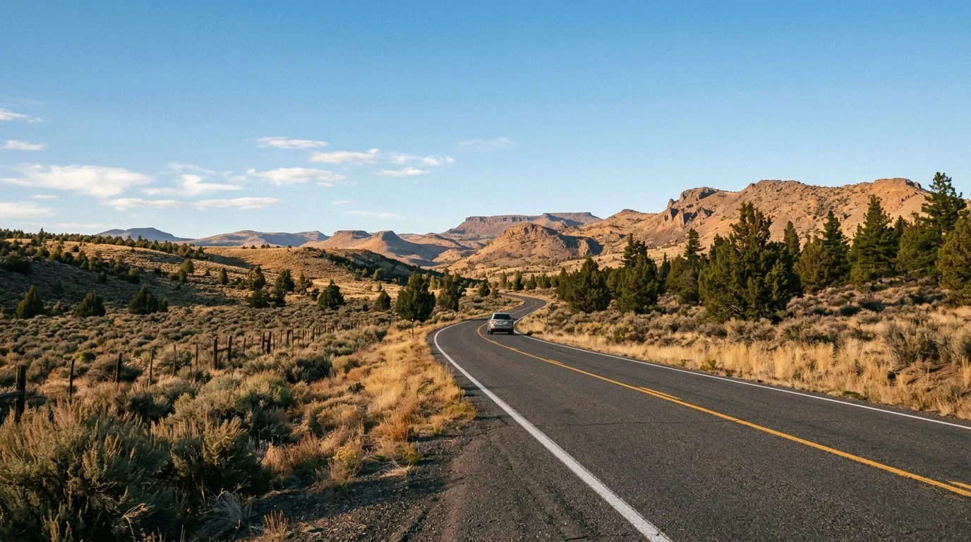
Match Your Overnight Base to the Route
Alturas: Best all-purpose base for services, supplies, the wildlife refuge, and access toward the Warner Mountains.
Cedarville and Surprise Valley: Best for a slower eastern-valley trip, sunrise and sunset photography, local communities, and dark skies.
Tulelake and the northern basin: Practical for Lava Beds National Monument and a broader volcanic or Klamath Basin itinerary.
Forest campgrounds: Useful for outdoor-focused trips, but verify opening dates, water, road access, reservations, and fire rules before relying on them.
Plan by Route, Not Straight-Line Mileage
Nearby points on a map may be separated by mountain passes, forest roads, slow surfaces, or seasonal access.
| Route | Planning Use | What to Expect |
|---|---|---|
| Alturas → Cedarville | Surprise Valley day trip | Cedar Pass, curves, elevation and weather changes |
| Alturas → Modoc NWR | Short wildlife outing | Easy to pair with town services and an early start |
| Alturas → South Warner trailheads | Mountain hiking | Longer approach roads; some routes are seasonal or unpaved |
| Lava Beds → Medicine Lake | Volcanic-country itinerary | Forest roads and seasonal access; verify the full route first |
| Alturas → Lava Beds region | Separate full-day route | Do not underestimate cave time, orientation, and return driving |
Drive times vary with weather, construction, road surface, stops, and seasonal closures. Confirm each segment before departure.
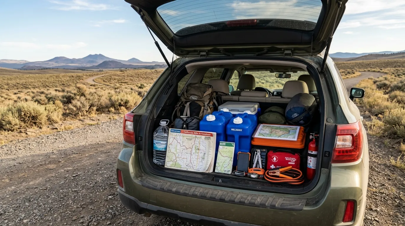
Pack for Delays, Temperature Swings, and Limited Services
- Water, food, medications, and sun protection
- Warm layers, rain protection, hat, and gloves
- Offline maps, paper backup, and charged power bank
- Vehicle spare, repair equipment, and roadside supplies
- Headlamp, first-aid kit, and emergency insulation
- Activity-specific equipment for caves, trails, boating, or winter roads
Use the Agency Responsible for Current Conditions
Access, permits, fees, fires, roads, cave closures, and operating hours can change. Use official sources as the final authority immediately before travel.
Frequently Asked Questions
Two or three days provide a useful introduction. One day should focus on a single route, such as Alturas and the wildlife refuge or Alturas to Cedarville. A cave, mountain, and highland itinerary usually needs separate days.
Alturas is the strongest general base because it has the county’s broadest concentration of fuel, groceries, lodging, and services. Cedarville is better for a dedicated Surprise Valley trip, while Tulelake-area lodging can be more practical for Lava Beds.
No. Download maps, reservations, and agency information before leaving a community. Carry a paper map for forest roads, wilderness trailheads, or other remote routes.
Summer generally provides the widest access, while spring and fall can offer cooler weather and strong wildlife viewing. Winter can be beautiful but requires routes built around maintained roads and current conditions.
Major highways are paved, but mountain passes can have snow, wind, fog, construction, or wildlife. Some trailheads, campgrounds, volcanic sites, and scenic routes use seasonal or unpaved roads.
No. This is an independent editorial guide, not a live emergency or government information service. Always confirm current conditions with Caltrans, the Forest Service, National Park Service, Fish and Wildlife Service, or the agency responsible for the site.
Start With One Excellent Day
Pick the part of Modoc County that matters most, then add only the stops that fit the road, season, and daylight available.